Betekenis van het woord "geographic information system" in het Nederlands
Wat betekent "geographic information system" in het Engels? Ontdek de betekenis, uitspraak en specifiek gebruik van dit woord met Lingoland
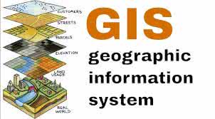
geographic information system
US /ˌdʒiː.əˈɡræf.ɪk ɪn.fɚˌmeɪ.ʃən ˈsɪs.təm/
UK /dʒiː.əˈɡræf.ɪk ɪn.fəˈmeɪ.ʃən ˈsɪs.təm/
Zelfstandig Naamwoord
geografisch informatiesysteem
a system designed to capture, store, manipulate, analyze, manage, and present all types of geographical data
Voorbeeld:
•
We used a geographic information system to map the distribution of endangered species.
We gebruikten een geografisch informatiesysteem om de verspreiding van bedreigde diersoorten in kaart te brengen.
•
Understanding a geographic information system is crucial for urban planning.
Het begrijpen van een geografisch informatiesysteem is cruciaal voor stadsplanning.
Synoniem:
Gerelateerd Woord: