معنى الكلمة "geographic information system" بالعربية
ماذا تعني "geographic information system" بالإنجليزية؟ اكتشف المعنى، النطق، واستخدام هذه الكلمة مع Lingoland
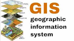
geographic information system
US /ˌdʒiː.əˈɡræf.ɪk ɪn.fɚˌmeɪ.ʃən ˈsɪs.təm/
UK /dʒiː.əˈɡræf.ɪk ɪn.fəˈmeɪ.ʃən ˈsɪs.təm/
اسم
نظام معلومات جغرافية
a system designed to capture, store, manipulate, analyze, manage, and present all types of geographical data
مثال:
•
We used a geographic information system to map the distribution of endangered species.
استخدمنا نظام معلومات جغرافية لرسم خرائط توزيع الأنواع المهددة بالانقراض.
•
Understanding a geographic information system is crucial for urban planning.
فهم نظام المعلومات الجغرافية أمر بالغ الأهمية للتخطيط الحضري.
مرادف:
كلمة مرتبطة: