詞彙 "geographic information system" 在中文的含義
"geographic information system" 在英語中是什麼意思?與 Lingoland 一起探索這個詞的含義、發音及具體用法
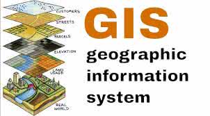
geographic information system
US /ˌdʒiː.əˈɡræf.ɪk ɪn.fɚˌmeɪ.ʃən ˈsɪs.təm/
UK /dʒiː.əˈɡræf.ɪk ɪn.fəˈmeɪ.ʃən ˈsɪs.təm/
名詞
地理資訊系統
a system designed to capture, store, manipulate, analyze, manage, and present all types of geographical data
範例:
•
We used a geographic information system to map the distribution of endangered species.
我們使用地理資訊系統來繪製瀕危物種的分布圖。
•
Understanding a geographic information system is crucial for urban planning.
理解地理資訊系統對城市規劃至關重要。
同義詞: