Meaning of the word "geographic information system" in English
What does "geographic information system" mean in English? Explore the meaning, pronunciation, and specific usage of this word with Lingoland.
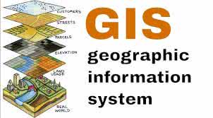
geographic information system
US /ˌdʒiː.əˈɡræf.ɪk ɪn.fɚˌmeɪ.ʃən ˈsɪs.təm/
UK /dʒiː.əˈɡræf.ɪk ɪn.fəˈmeɪ.ʃən ˈsɪs.təm/
Noun
a system designed to capture, store, manipulate, analyze, manage, and present all types of geographical data
Example:
•
We used a geographic information system to map the distribution of endangered species.
•
Understanding a geographic information system is crucial for urban planning.
Synonym:
Related Word: